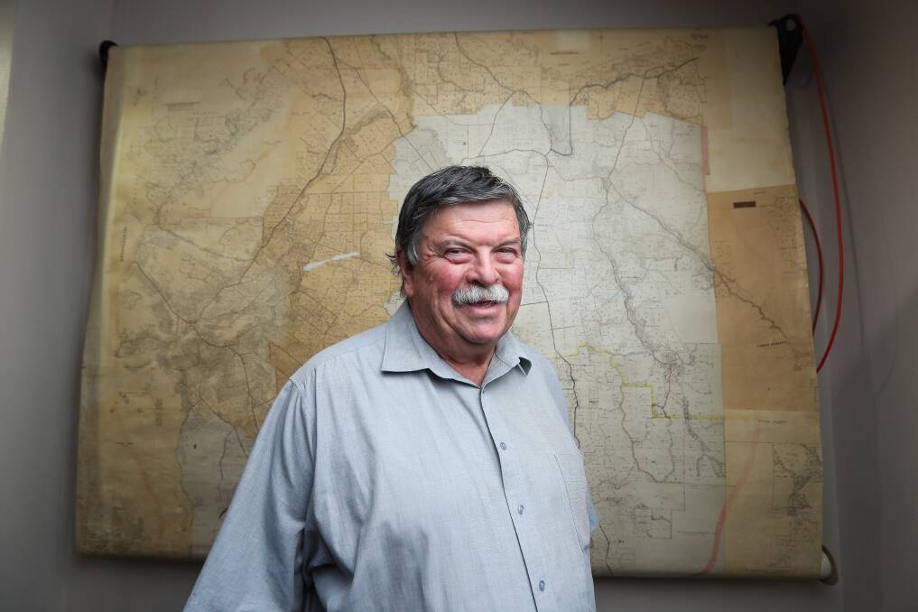
Glenn Colwell was working for the Yackandandah Shire when he helped create a map of the town and is still with the council 50 years on as the resource is again on display.
Subscribe now for unlimited access.
$0/
(min cost $0)
or signup to continue reading
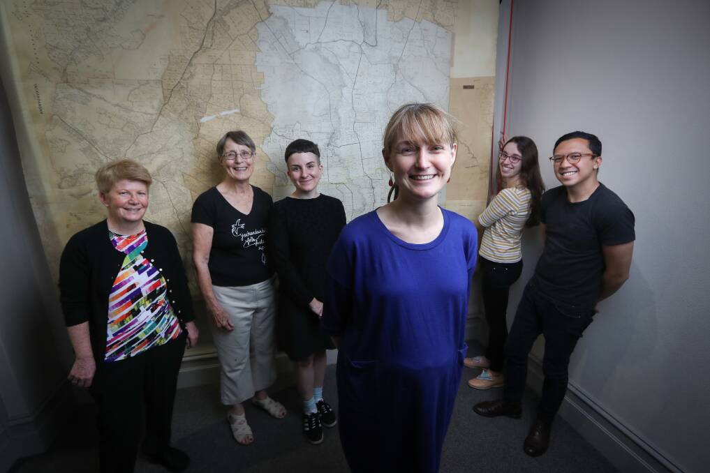
The four-by-two metre map was restored over the course of a week by a team from University of Melbourne’s Grimwade Centre for Cultural Materials Conservation.
Mr Colwell dropped in to see the works and relay the history behind the document to the conservators.
“It was put together in the late 1960s, early 1970s from a series of parish maps,” he said.
“It was for property identification; in those days ratings were based on handwritten books, before they went to a card system and eventually to digital.
“We’re starting to get a gap in records, with the digitisation of mapping and that sort of thing, there’s not a lot of those old records kept.”

Mr Colwell said the map’s main purpose was for interpreting shire and property boundaries.
“It would have been on the wall in the previous Yackandandah Shire office at the time and after amalgamations in 1994, that became an Indigo office and it was rebuilt a couple years ago,” he said.
“At that point there wasn’t anywhere to put it, so it went into storage at the Yackandandah museum.
“It was accessible where it was but it’s much more accessible to the public now.”
Six students and graduates of the Grimwade centre, the only one like it in Australia, worked on the map in the town’s public hall, with schools and residents dropping in to see the progress.
Conservator Sophie Lewincamp said their work consisted of repairing tears and ensuring the map’s longevity.
“We found the old adhesive was failing, we’re pretty sure it was old animal glue, so we placed that with conservation-grade adhesive,” she said.
“We were adhering the layers back together.”
Ms Lewincamp said the centre had worked with Susan Reynolds of the Yackandandah Museum on a number of projects but this was the first time the Melbourne team worked onsite in the North East town.
“I’d never seen one like that before, where someone created a map out of many maps to create a whole shire,” she said.
“It was on display for many years where people used it to check boundaries – it details land plots, roads and train lines.
“We had some school kids come in and everybody wanted to know where their house was. We were very well cared for by everyone in Yackandandah.”


